Rips are one of the biggest problems along New Zealand's coastline and last year alone, seven people drowned as the result of a rip.
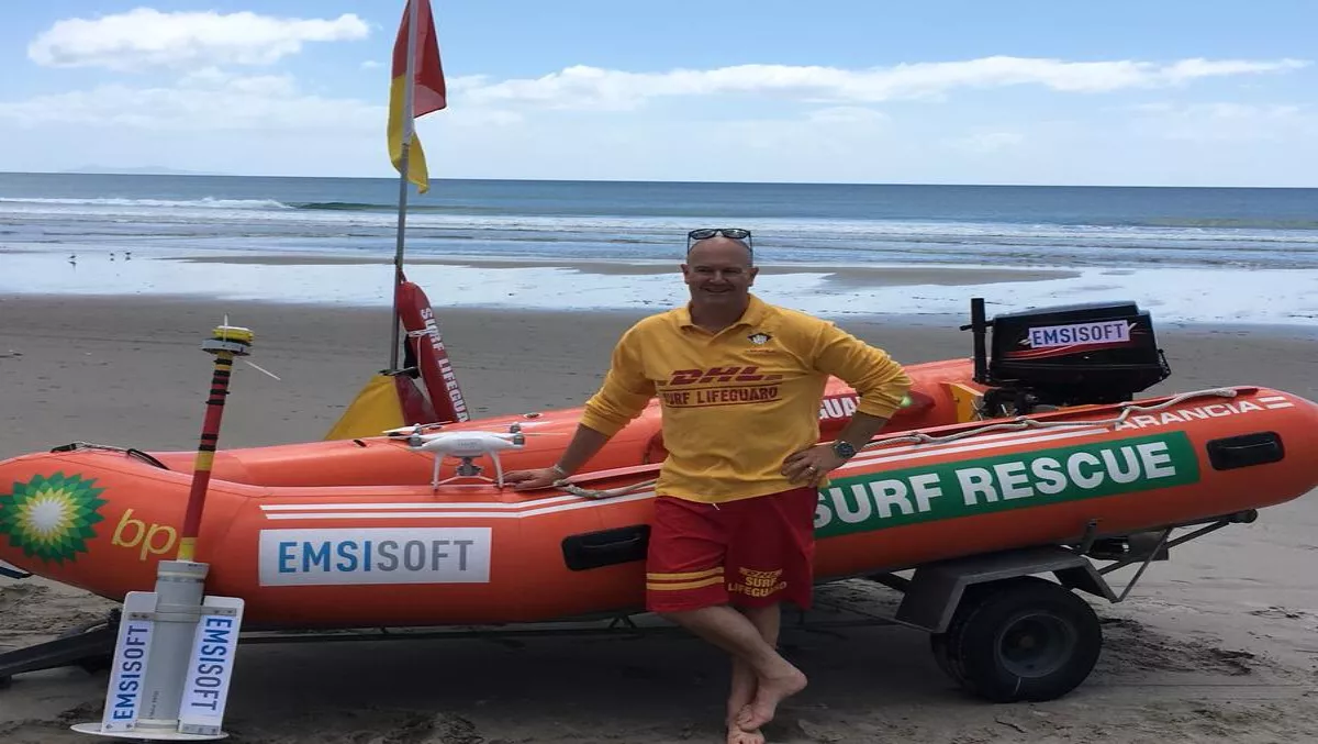
That's according to Surf Life Saving New Zealand (SLSNZ) who's teaming up with software company Emsisoft to map currents and rips around Kiwi hotspot beaches this summer.
Using ‘drifters' the partners will plot GPS data and drones to accurately map the rip currents and their behaviours.
SLSNZ national lifesaving manager Allan Mundy says up until now, data on currents has been mapped from 500m off-shore.
The project, supported by Emsisoft, will provide more accurate data which will lead to a better understanding of rips.
“If someone should get swept away in a rip, having the knowledge and understanding of the currents in that particular location will help narrow down the search area,” he says.
Mr Mundy explains that the data collection will involve a collaboration of SLSNZ lifeguards and Coastguard New Zealand personnel to carry out the deployment and retrieval of the GPS drifters
“Half of the drifters will be modified so they will sink below the water's surface to mimic how a body behaves once it becomes submerged after a drowning,” says Mundy.
“This data will be priceless as it will help searchers better identify where to look for lost persons in the benthic current (the current on the bottom of the sea floor) which we don't currently have data on,” he adds.
“Dyes and similar drifters used in the past have only been observed within surface currents which often flow in very different directions to the currents on the sea floor.